Golden Pipeline
A time capsule of water,
gold & Western Australia
A project from the National Trust of WA
A self-guided drive trail between the Perth Hills and Western Australia’s Eastern Goldfields. Go with the Flow. Follow the water to discover more about the audacious goldfields water supply scheme and Engineer CY O’Connor.
“Future generations, I am quite certain will think of us and bless us for our far seeing patriotism, and it will be said of us, as Isaiah said of old, ‘They made a way in the wilderness, and rivers in the desert”
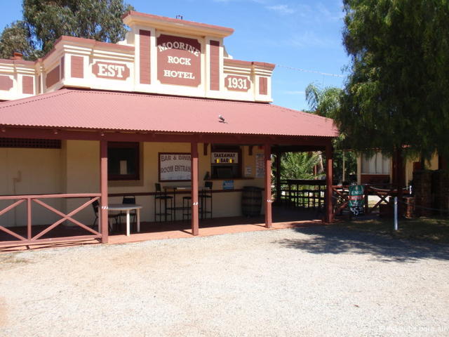
Moorine Rock
Gold and water. The two themes of the Golden Pipeline Heritage Trail. Moorine Rock was originally named Parker’s Road because of its proximity to a track leading to Parker Range, where gold had been discovered by a Mr Parker in 1888. But what of water?
Two months after starting work with the Public Works Department, Assistant Engineer William Shields was sent to look for water either side of a proposed railway to Southern Cross. His September 1893 report confirmed no permanent surface water existed east of Northam’s Burlong Pool. Shields recommended using run-off from large areas of rock. To cart water from Northam to the Eastern Goldfields a locomotive would consume half of what it could haul.
Following his recommendation, four large excavated ‘tanks’ as they were called, or dams, were built at Cunderdin, Kellerberrin, Merredin and Parker’s Road (now Moorine Rock). The railway dam still exists opposite Moorine Rock’s general store and Art Deco hotel. The tanks ranged in capacity from 4 million to 7.5 million gallons and by June 1895 all contained water.
The Parker’s Road tank was the only one of the four to be built by the Public Works Department itself. The other three were constructed by J. McDowell, the contractor for the railway who was, understandably, rather anxious about the water situation. He’d started conveying passengers as far as he could, making money before he handed the line over to the government by the agreed completion date.
Rather confusingly, a granite outcrop called Moorine Rock does exist and it is for this that the settlement was named. Ironic since the name Parker’s Road was changed to Moorine Rock allegedly because of confusion with a Parker Road in Southern Cross and the Parker Range gold mining area.
Explore
Click on any map section or place below to discover The Golden Pipeline.
Northam to Cunderdin
Explore section two