Golden Pipeline
A time capsule of water,
gold & Western Australia
A project from the National Trust of WA
A self-guided drive trail between the Perth Hills and Western Australia’s Eastern Goldfields. Go with the Flow. Follow the water to discover more about the audacious goldfields water supply scheme and Engineer CY O’Connor.
“Future generations, I am quite certain will think of us and bless us for our far seeing patriotism, and it will be said of us, as Isaiah said of old, ‘They made a way in the wilderness, and rivers in the desert”
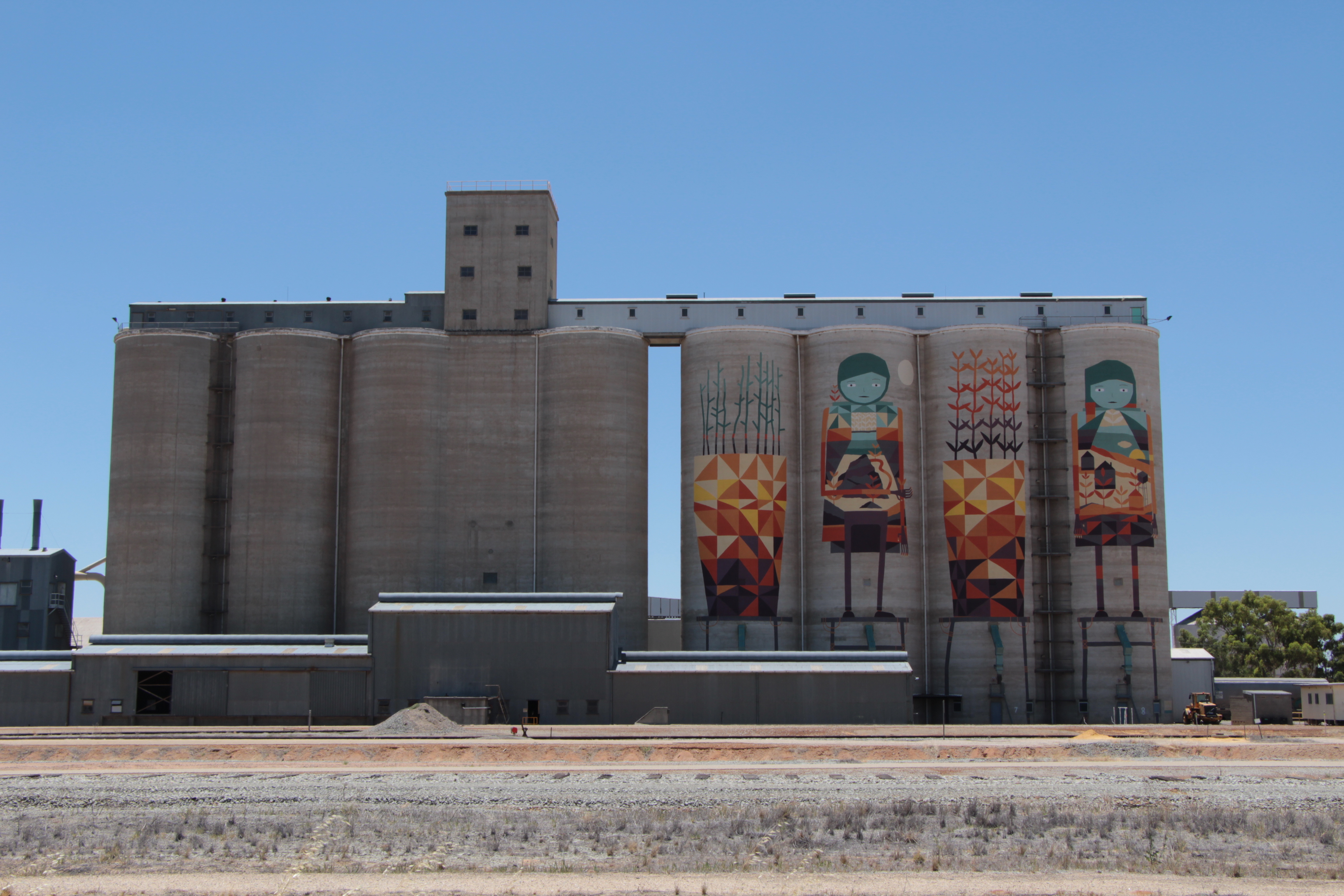
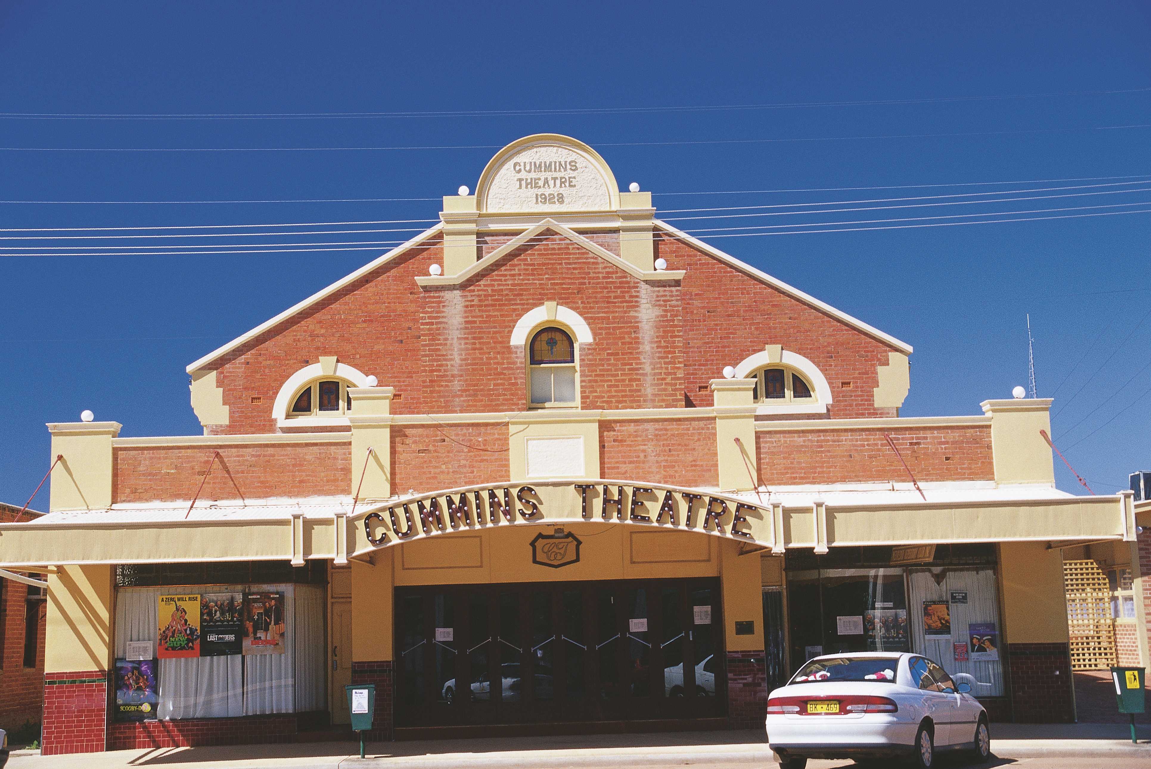
Merredin
Merredin is located approximately halfway between Perth and Kalgoorlie. As a substantial country town with plenty to do and see, it makes an ideal place to stay the night.
The first European explorer to travel in the region was the Surveyor General J S Roe, but he was unimpressed by the dry country. By the 1850s sandalwood cutters had moved into the area and were making a living there. Charles Hunt of Hunt’s Wells fame passed through in the 1860s and was shortly followed by a number of pastoralists who established runs but no township.
Merredin owes its existence as a town to the large granite outcrop known as Merredin Peak. A waterhole at the foot of the northern side of the Peak was a valuable source of water for prospectors heading to the Goldfields and a permanent settlement was soon established there. Although a town site was surveyed, no allotments were sold. It was cheaper for the owners of the hotel and shanties to simply squat on Crown land.
When the railway reached Merredin in 1893 it did not pass the old settlement but passed to the south of Merredin Peak. The result was that the old settlement simply disappeared as a new one was established near the siding.
Large quantities of water were required for steam locomotives and Merredin Peak provided an ideal catchment area from which to direct water into a so-called railway dam. From there it was pumped to the railway yards and water tower. The availability of water meant Merredin developed as a rail centre. Its expansion was also stimulated by the supply of pipeline water to the town in 1903 and the later agricultural development of the surrounding region.
The sale of town lots in 1906 saw the establishment of a number of new businesses including stores, a hotel, a lodging house and a tailor’s shop. By 1910 a further 120 lots had been surveyed and half of them sold.
Today the Shire of Merredin has a population of about 3 600 people. While the earliest farm production of the district was hay, which was cut, chaffed and sent to the Goldfields, you are now just as likely to see wheat, canola, lupins, barley and faba beans growing. The town is a major regional town with good shopping, a district hospital, one primary school, one college catering for K-12 with an attached residential college, and a campus of the CY O’Connor College of TAFE.
Explore
Click on any map section or place below to discover The Golden Pipeline.
Northam to Cunderdin
Explore section two