Golden Pipeline
A time capsule of water,
gold & Western Australia
A project from the National Trust of WA
A self-guided drive trail between the Perth Hills and Western Australia’s Eastern Goldfields. Go with the Flow. Follow the water to discover more about the audacious goldfields water supply scheme and Engineer CY O’Connor.
“Future generations, I am quite certain will think of us and bless us for our far seeing patriotism, and it will be said of us, as Isaiah said of old, ‘They made a way in the wilderness, and rivers in the desert”
Travel Tips
Driving through Golden Pipeline country may take you to isolated areas. Plan ahead to ensure your experience is safe and enjoyable. The following tips are important as mobile phone coverage is intermittent:
- Tell someone where you are going and your return date
- Check tyres, water and mechanics on your vehicle
- Carry extra water, food and warm clothing as nights can be cool
- If you break down in a remote location, stay with your vehicle
- Take care when overtaking road trains, large trucks and wide loads
- Beware of wildlife crossing the road, especially at dusk and dawn
- Carry a first aid kit
- Some roads are unsealed
Following the Line
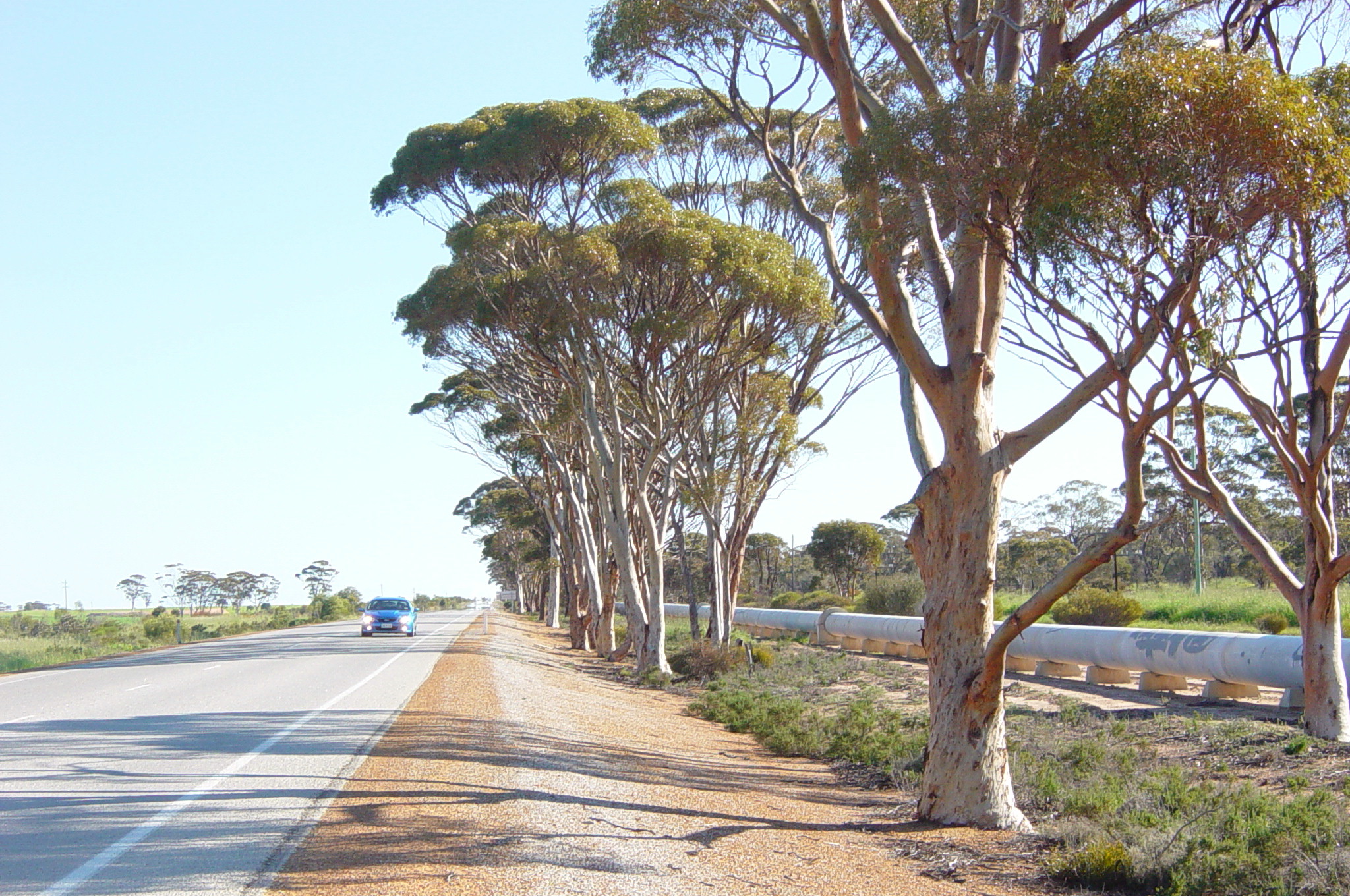
Sites associated with the scheme are easily accessed from Great Eastern Highway. The highway grew from a track cut through the bush by prospectors rushing to find gold in Coolgardie and later Kalgoorlie. The railway line followed the route of the track and the pipeline in turn largely followed the railway line. Where a site is a distance from Great Eastern Highway and / or on an unsealed road this is noted.
Take Your Time
A drop of water leaving Mundaring Weir, the source of supply for the parched goldfields, can take one to two weeks to reach its destination. While you may not be able to spend as long on your journey, give yourself time to explore the country and pipeline history. A range of accommodation is available at various towns.
Follow the Signs
Look out for signs featuring the Golden Pipeline logo that direct to sites associated with the water supply scheme such as the original pump stations. Sites have information signs explaining their significance and some have self-guided walk trails signposted by steel posts with directional arrows. (pics of signs)
Ask the Locals
Ask about local attractions at the towns you pass through. Some have dedicated Visitor Centres or you can pop into Shire Offices. Sites they recommend may increase your understanding of the dire need for a reliable water supply. Hunt’s Wells and Dams, for example, constructed in the mid 1860s, were a lifeline for prospectors who cycled, walked or rode from one to the next. Or you might be directed to a granite outcrop harvested for water prior to the pipeline being built, such as at Kellerberrin or Merredin. And Mundaring has Lake Leschenaultia built for steam trains.
Explore
Click on any map section or place below to discover The Golden Pipeline.
Northam to Cunderdin
Explore section two