Golden Pipeline
A time capsule of water,
gold & Western Australia
A project from the National Trust of WA
A self-guided drive trail between the Perth Hills and Western Australia’s Eastern Goldfields. Go with the Flow. Follow the water to discover more about the audacious goldfields water supply scheme and Engineer CY O’Connor.
“Future generations, I am quite certain will think of us and bless us for our far seeing patriotism, and it will be said of us, as Isaiah said of old, ‘They made a way in the wilderness, and rivers in the desert”
Overview
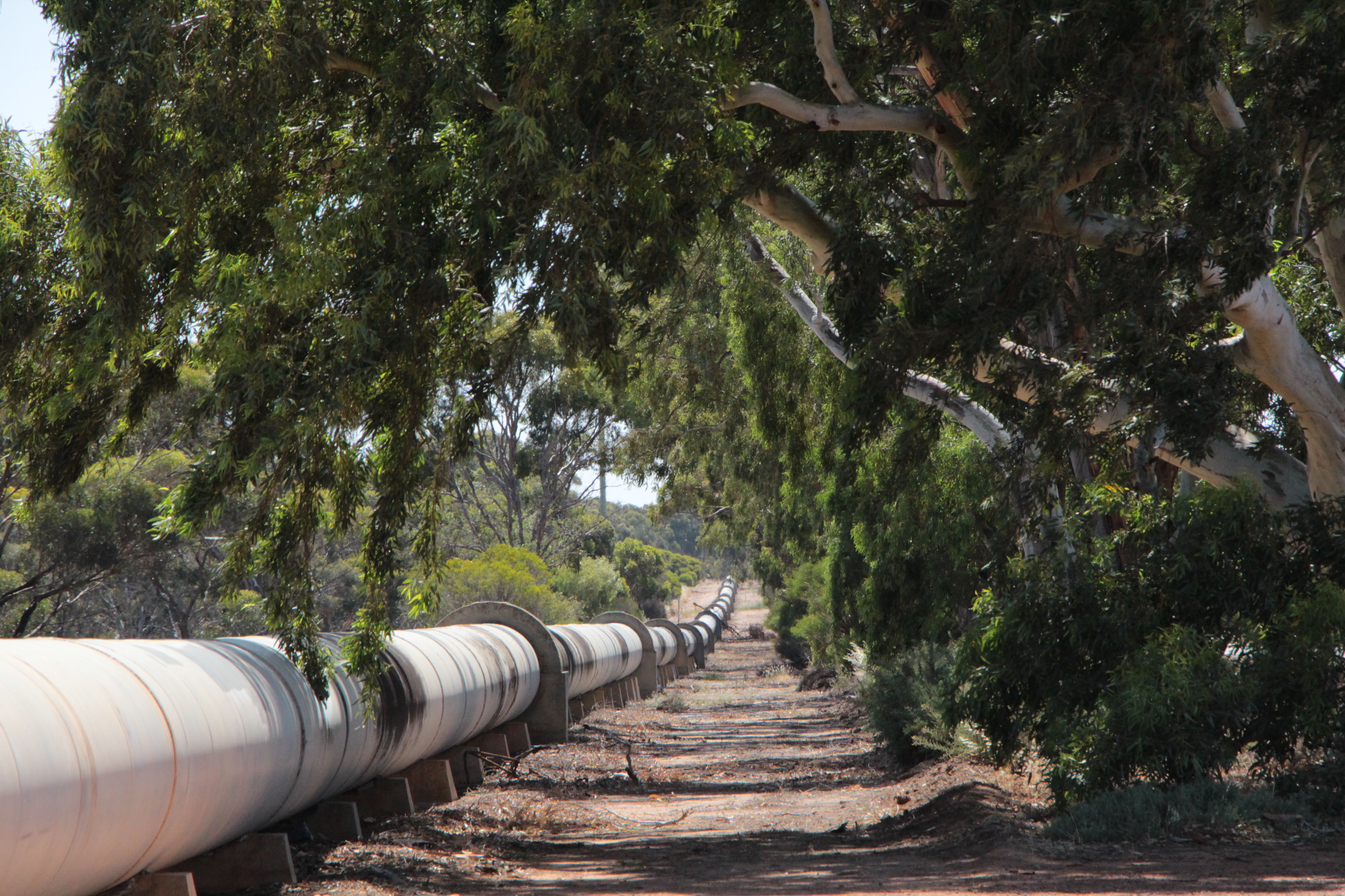
Rocks, rabbits and riches. While it is only a short distance, relatively speaking, from No 4 to No 5, there is a great deal to see in the area so do leave time.
Merredin, about halfway between Perth and the Eastern Goldfields, has as its ever present backdrop Merredin Peak.
Steam trains needed water and granite rocks in this section, such as the Peak, were harvested for runoff from rain. For a short time in 1894, as the railway made its way progressively east, Burracoppin, not far east of Merredin, was as far as the train went and you could have caught a coach from here to the goldfields. Or walked. Or cycled. Later surveyors set out north and south from Burracoppin to build the Rabbit Proof Fence.
It is also in this section that a discovery of gold resulted in a rush in hopes of riches.Tall silos at Carrabin are a reminder of riches from the soil: golden sheaves of wheat. No 5 Pump Station, Yerbillon, located just off the highway about six km east of Carrabin, provides an interesting insight into the communities which developed around the pump stations.

Explore
Click on any map section or place below to discover The Golden Pipeline.
Northam to Cunderdin
Explore section two