Golden Pipeline
A time capsule of water,
gold & Western Australia
A project from the National Trust of WA
A self-guided drive trail between the Perth Hills and Western Australia’s Eastern Goldfields. Go with the Flow. Follow the water to discover more about the audacious goldfields water supply scheme and Engineer CY O’Connor.
“Future generations, I am quite certain will think of us and bless us for our far seeing patriotism, and it will be said of us, as Isaiah said of old, ‘They made a way in the wilderness, and rivers in the desert”
Cunderdin to Merredin See & Do
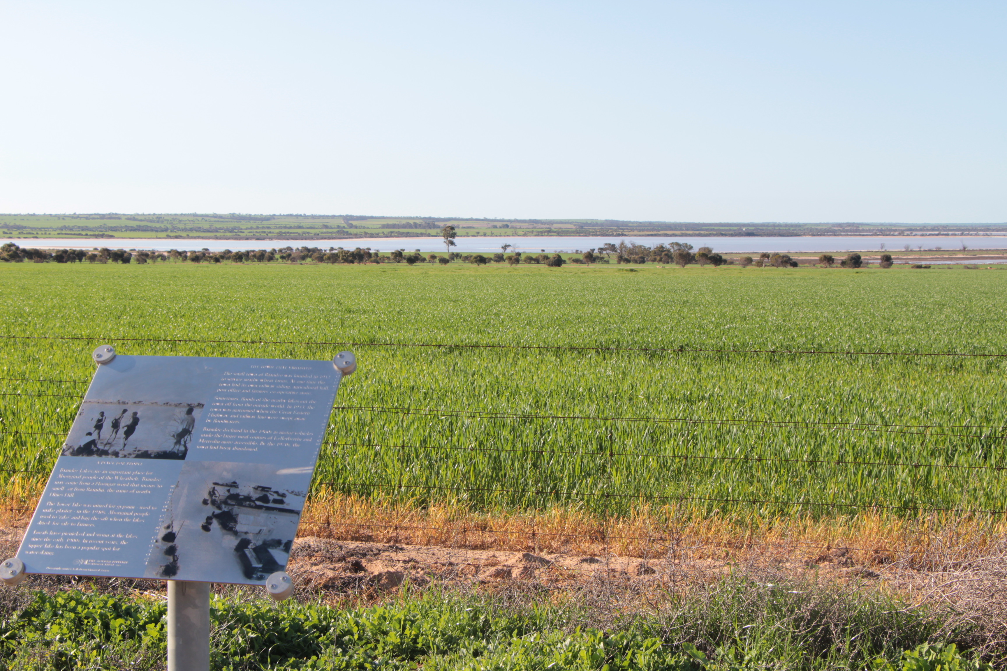
Baandee Lakes
Baandee Lakes Lookout
A short drive south of Doodlakine on the Bruce Rock – Doodlakine Road will take you to a lookout site that gives you a good view over Baandee Lakes, an extensive salt water lakes system.
Depending on the time of year and how much rain has fallen, these lakes, situated in a low-lying area about 40 kilometres west of Merredin, may be full of water or nothing more than a layer of salt. This expansive network of salt lakes presented a problem to the engineers laying the Goldfields Water Supply Scheme pipeline.
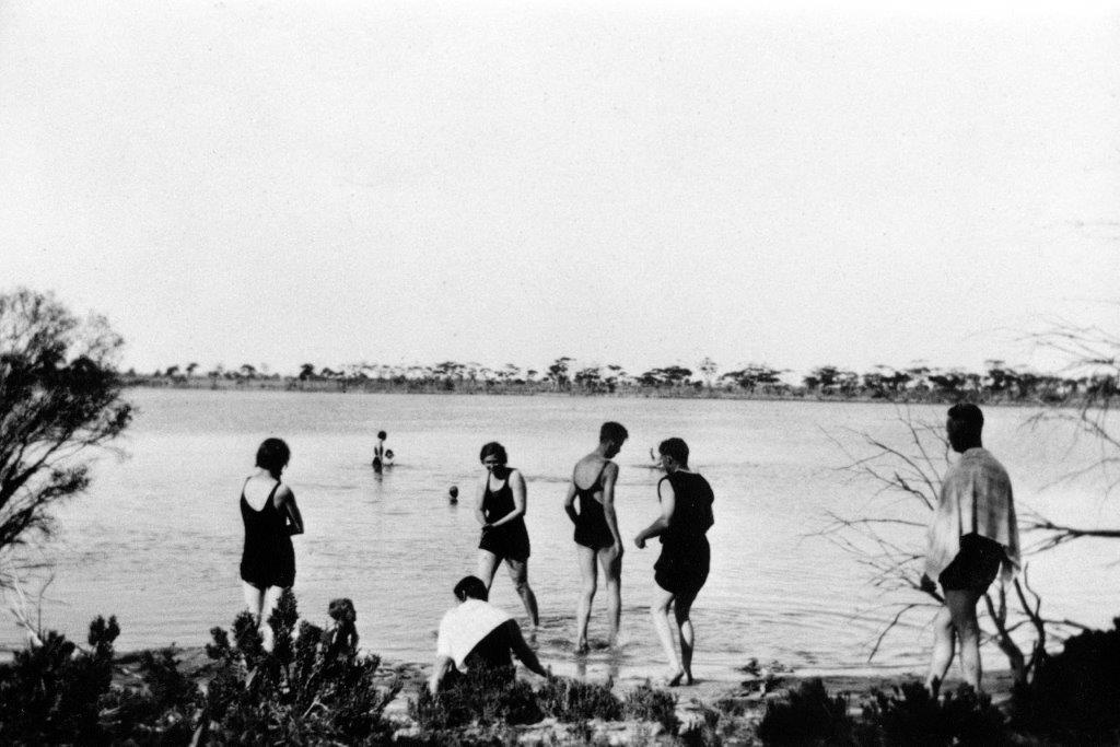
Work and Play
In this almost waterless region the lakes, when full, provide an ideal recreational facility. Picnics have often been held here, from small family affairs to the annual Baandee Railway Picnic (for railway employees and their families) with its free ice creams and drinks for the children. Today the lakes are home to a local water ski club, not a sport usually associated with the dry interior.
Mining Baandee Lakes in the past has involved both salt and gypsum.
Explore
Click on any map section or place below to discover The Golden Pipeline.
Northam to Cunderdin
Explore section two