Golden Pipeline
A time capsule of water,
gold & Western Australia
A project from the National Trust of WA
A self-guided drive trail between the Perth Hills and Western Australia’s Eastern Goldfields. Go with the Flow. Follow the water to discover more about the audacious goldfields water supply scheme and Engineer CY O’Connor.
“Future generations, I am quite certain will think of us and bless us for our far seeing patriotism, and it will be said of us, as Isaiah said of old, ‘They made a way in the wilderness, and rivers in the desert”
Merredin to Yerbillon GPHT Sites
Merredin Peak Railway Dam
A walk trail over and around Merredin Peak takes in magnificent views and allows an up-close look at one of the so-called railway dams built to solve the shortage of water in WA’s arid interior.
At 2.25 km the trail can be comfortably walked in 45 minutes. Some sections are steep and care must be taken not to slip because the rock gets slippery when wet.
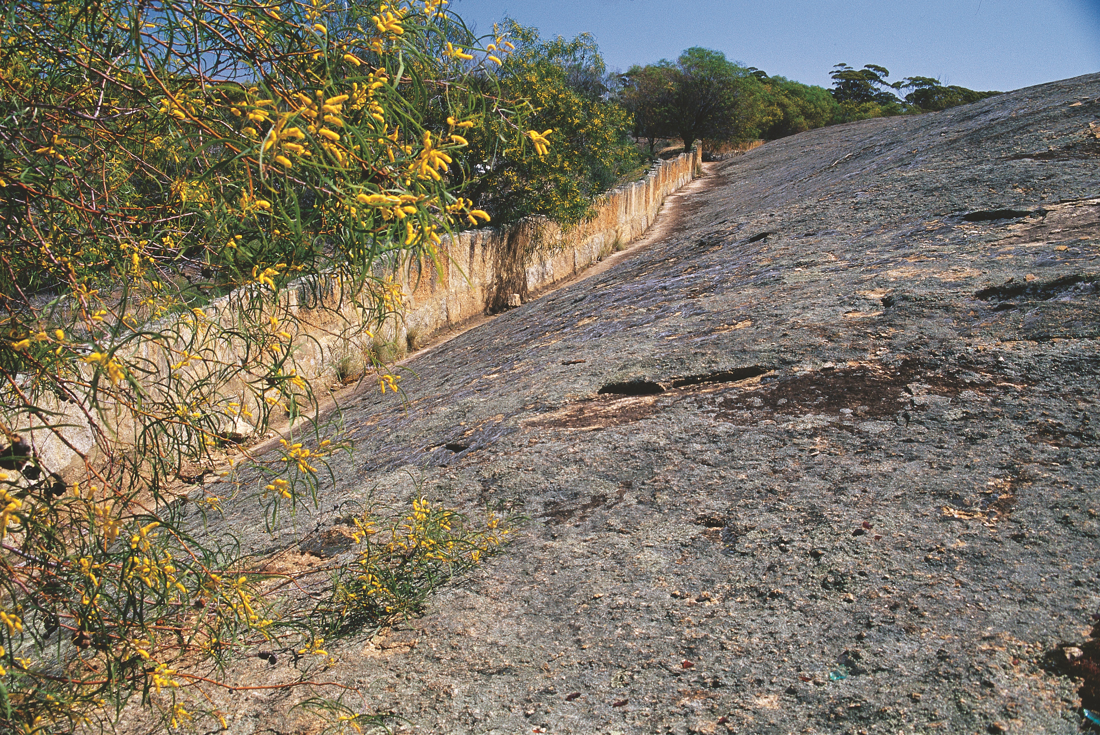
Large quantities of water were required to power steam locomotives pushing out to the goldfields. With no perennial streams or other reliable water sources in the region, rocks had to be harvested for water. Merredin Peak, like other similar granite outcrops, was surrounded by a rock wall directing rainfall run-off from the rock into a dam.
The dam was originally built in conjunction with the railway construction in 1893, by the railway contractor J McDowell. At the same time, a stone contour wall was built around the Peak. It caught and directed the rainfall run-off into a large, 100 m long stone lined channel which led to the dam. A sluice gate at the entrance of the channel controlled the flow of water into the dam. A second sluice gate located in the rock wall to the side of the channel allowed excess water to run off into open ground, ensuring that the town would not be flooded in the event of exceptional rainfall.
A second stone wall surrounds the rock to the north of the Peak and a channel directs its water runoff into the Merredin Peak system.
The rock used to construct the dam, wall and channel was all taken from the Peak. A number of quarry sites can still be seen where wooden pegs were driven into the rock and moistened with water. As they expanded, the rock fractured. If you look closely at the bottom of the rock wall, particularly near the channel, you will see evidence of the holes into which the wooden pegs were driven.
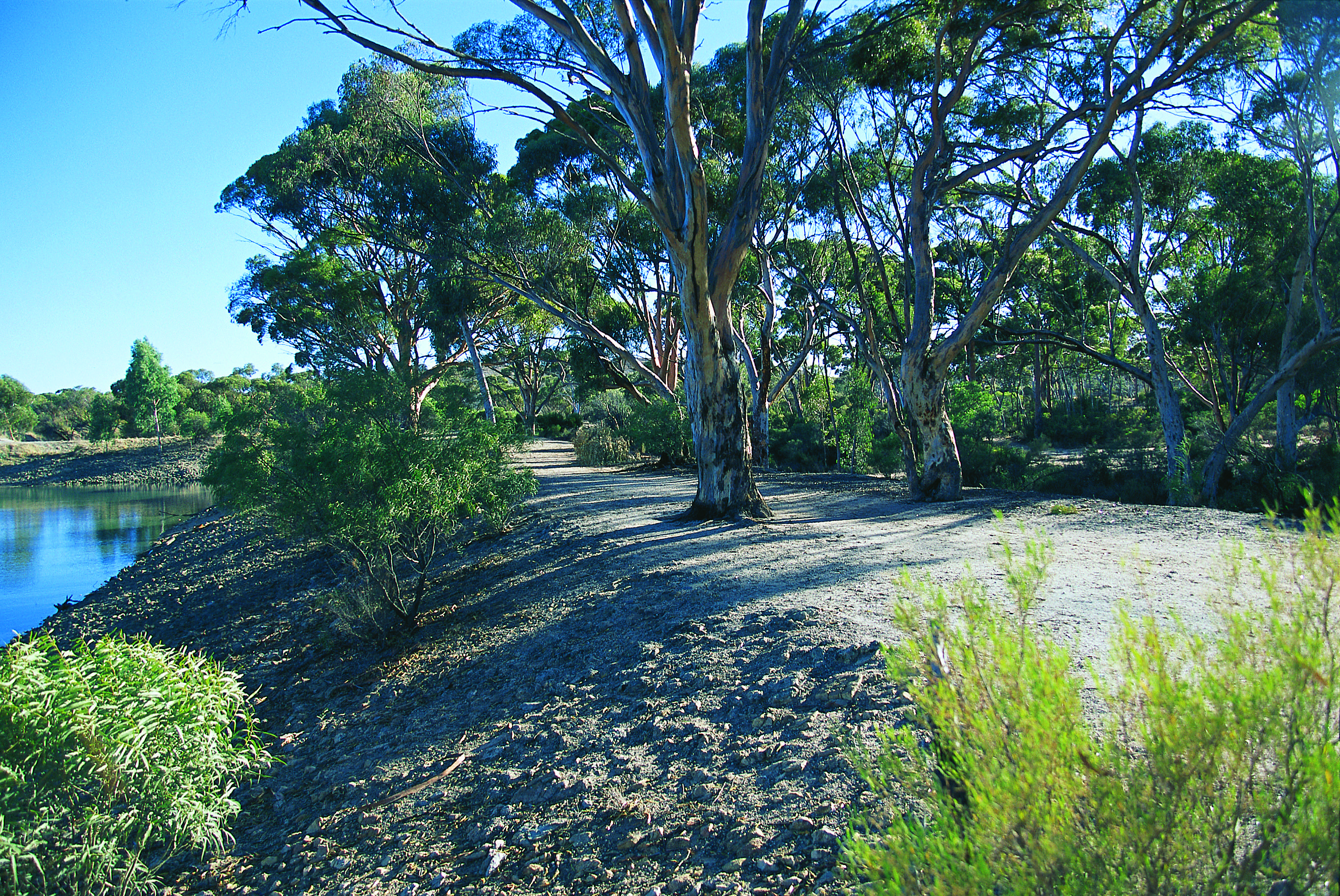
The dam was substantially rebuilt and enlarged by “sustenance workers” during the 1930s depression. Today 45 million litres of run-off is channelled annually into the Railway Dam, which can hold up to 25 million litres of water. Since 1968 the water has no longer been used to supply the railway but is now used to water the parks and gardens of Merredin.
If you have read Robert Drewe’s wonderful novel The Drowner that weaves history and technology with the story of its protagonists, you might know Merredin Peak features in it. Every evening caulking overseer Dudley Bright seeks out the highest point in the vicinity of the camp at the time for workers moving successively east as they join the pipes. When the last ray of sun hits the horizon he produces a cornet from a leather case and the plaintive sounds of “Sweet Marie” fill the air. In the novel the highest point in Merredin becomes the site of a battle between those caulking by hand and those using caulking machines. Machine caulking was indeed an issue at the time.
Explore
Click on any map section or place below to discover The Golden Pipeline.
Northam to Cunderdin
Explore section two